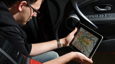
Map apps tested
Road atlases have gone digital, and are now squeezed into software that can be downloaded to your tablet. But which is best?

Many motorists still prefer to stick with road maps than splash out on a sat-nav. But publishers are increasingly turning UK atlases into great-value digital apps for smartphones and tablets, giving the best of both worlds: the benefits of a paper map, with a touchscreen display’s ease of use. We tried 12 top downloads.
The test
As with a paper map, scale is crucial for use on the go. Some apps let you magnify the map via an Internet connection, but more vital was the level of zoom when offline. Most have a miles per inch scale, yet we also worked out a yards per inch figure for those with street-level mapping. We rated quality, clarity and accuracy, checking for seven locations. As with sat-nav apps, many packages offer offline postcode search, so we checked these.
Download size was important. Not only does it affect installation time (best to be connected to a Wi-Fi network or plugged into your computer for files over 100MB), but if your device has limited memory, you may need to delete some files. Where possible, we tried iPad versions – iPhone apps are useful to keep in a pocket, yet to truly replicate a road atlas, the tablet’s screen is best. Price was our final factor.
Verdict
Missing from our line-up was top paper atlas brand A-Z, although it does offer city guides as individual apps. Taking its place at the top is Navfree. It’s clear, accurate and top value, and works on iPad and iPhone, without Internet. In second is ForeverMap by Skobbler, which lets you zoom in when offline, while the AA iPhone app is third.
1. NavFree
2. ForeverMap by Skobbler
3. AA Road Atlas


