Road atlases tested
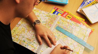
Despite the sat-nav boom, traditional road atlases are still going strong, and they’re better than ever. We put 12 of the best to the ultimate test.

Portable sat-navs and smartphone apps may be dropping in price, but they’re still beyond the budget of many motorists, who prefer a road atlas.
These simple maps are great for route planning at home, and now have many features normally found on sat-navs, such as fuel stations, speed limits and safety cameras. We rounded up 12 of the latest 2012 editions, in all shapes and sizes, to pick the best to keep in your car.
The test
Our road atlases vary in size, but scale is important. The lower the miles per inch (mpi) figure, the clearer the maps. We also wanted clear junction diagrams – on the main pages, as well as the close-up town maps. A page-by-page map index scored points, while quality was vital, as atlases have a hard life. Price was our final factor.
Verdict
Our preferred atlas size was A4 – not too big, but not too small – and spiralbounds are easier to use than perfect-bounds. The A-Z Great Britain Road Atlas took the win with its detailed junctions, clear routing and top-quality pages. Second was the Michelin Great Britain – a good-quality, well priced perfect-bound, packed with info. A-Z’s A3 SuperScale map finished third, with its Northern Ireland mapping.


